FrequentlyAsked Questions

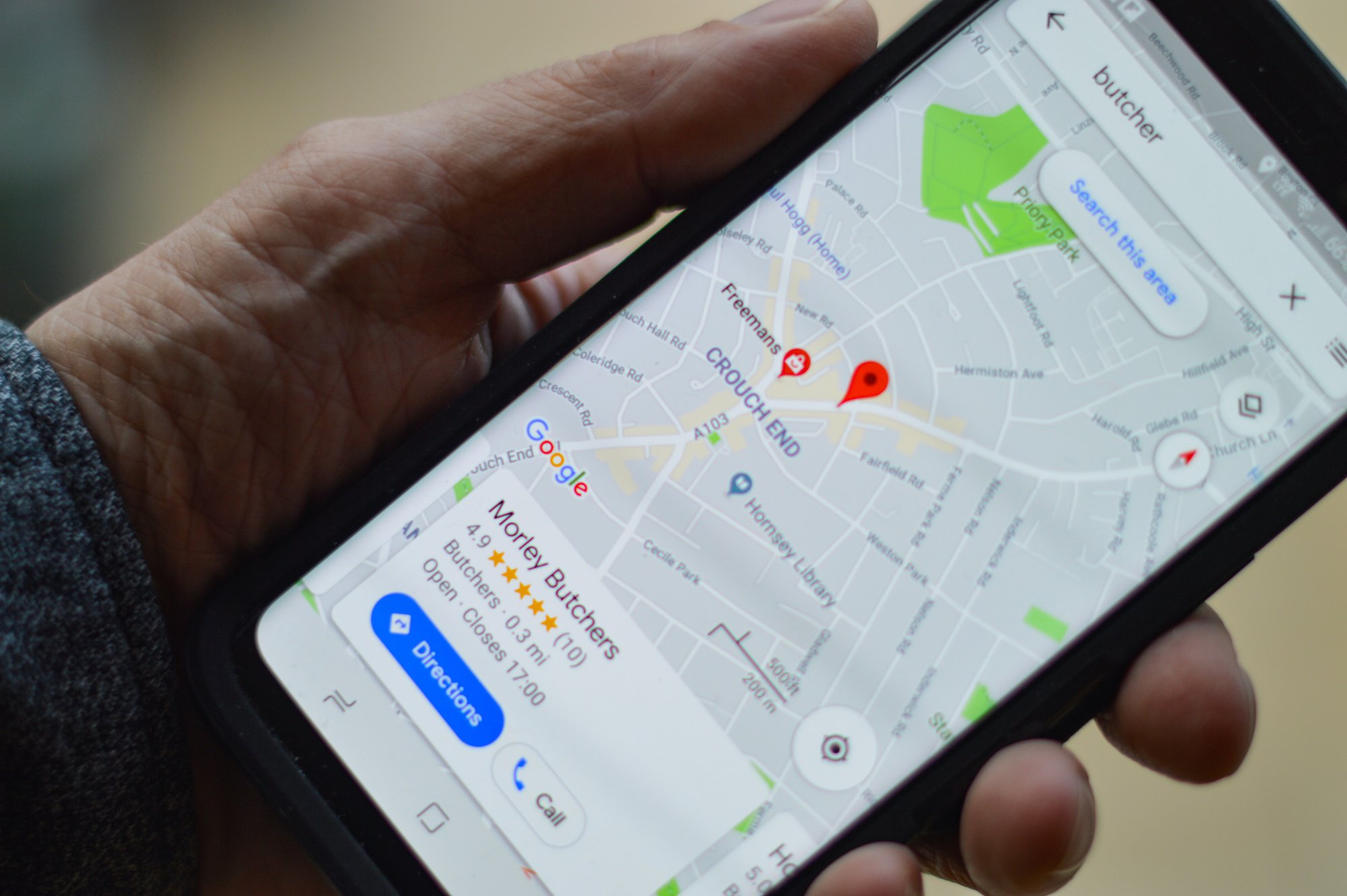
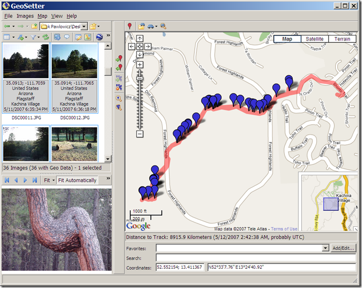
What is GEO tagging?

A world map is a popular tool used by some photography to keep record of their journeys, and some software applications even include maps that enable you see or sort your images according to their GPS position. We call this geotagging.

Does work without Internet?

Yes, Geotag Images will still function even if the device is not online. A global positioning system signal(GPS), which is accessible for free everywhere in the globe, is all that is required to determine where you are. But when you desire that your location automatically captured then you need internet.

How does geotagging camera app works?

Launch geotagging camera application...
Tab the main screen....
Choose image from gallery or camera....
Edit your image according your need....
Save and share with desire location via whatsApp and Gmail....

What is altitudes?

Altitude is the height of any item above the surface of the ocean.

What is latitudes?

Latitudes indicates the length north or south of the equatorial. Latitudes lines begin at the equatorial (0 degrees latitude) and run eastward and west, parallel to the equatorial. Lines of latitudes are calculated in degrees north or south of the equatorial to 90 degrees at the North or South extremes.